MAZOTOS
The village Mazotos is found in the province of Larnaca and it is found at a distance of 20 kilometers southwesterly of the city of Larnaca.
The village of Mazotos is built in the coastal plain of Larnaca having an average altitude of 35 meters. The landscape of the village has a general bent towards the sea. The altitude starting from 80 meters in the northwesterly side of the village (hill “Viklones”) falls to an altitude of 35 meters near the settlement and it is decreased progressively towards the sea, which washes its southern side.
The village of Mazotos accepts an average annual rainfall of about 360 millimeters and in its region they are cultivated the vines (for wine and for table use), the citrus fruits, the olives, the carobs, the cereals (mainly barley), the shepherd plants, various species of vegetables (artichokes, tomatoes, cucambers, watermelons, pumpkins and okras), “chrysomilies” and fig trees.
The village of Mazotos is included in the big irrigatory work of the Southern Irrigation System, by which it has been profited during its second phase, with the irrigation also of other important extents of ground.
The village of Mazotos is served with a very good transportation network. Is connected with asphalt roads in the western side with the village Alaminos (about 5 Km.), in the northwestern side with the village Anafotia (about 4 Km), in the Eastern side with the village Kiti (about 10 Km) and then with the city of Larnaca (about 20 Km.). It is also connected by a coastal street in the south-western side with the village Zygi and from there with the city of Limassol.
The village, through its long-lasting history had big demographic fluctuations. In 1881 its residents were 280 and they were increased to 298 ten years later in1891, to 397 in 1901, to 502 in 1911, decreased to 500 in 1921 but increased to 578 in 1931 and to 707 in 1946. In 1960 the residents were decreased to 545, they were increased to 608 in 1976 and they are decreased again to 546 in1982. In the last inventory that took place in 2001 the residents of Mazotos were amounted to be 754.
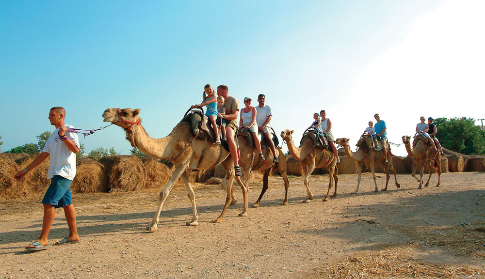
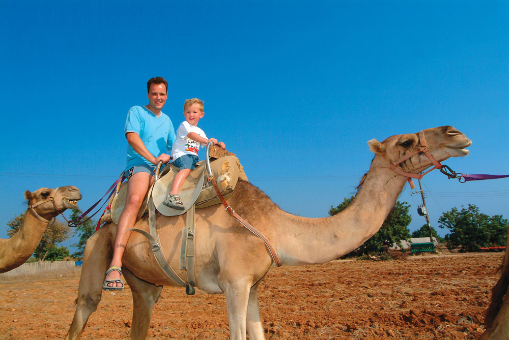
The village of Mazotos began during the last years to be developed in the area of tourism and buildings with the construction of rural residences, particularly from people coming from the city of Nicosia. Some residences of the community are foreigners, mainly English pensioners, which discovered the beauties of our community and decided to live permanently here.
According to Simos Menandro and Mas Latri, the name of the village emanates from the plant “Mazin” (Ροterium spinosum) and implies the region where such plants of the wild Cypriot flora exist. For the same reason, the name Mazotos is related and elsewhere in Cyprus (as names of localities in the village Pissouri etc.), as names Mazeri, Mazeron.
Another etymology for the name of the village reports that the initial name of village was Mastotos, because the village was built near the mastoid mountains of Moi. (From the Greek word “mastos” that means woman’s breast). With the passing of the years and thanks to the euphony the “st” of the word became “z” and thus emanated the name Mazotos.
The village of Mazotos during the season of Constantine the Great, was an administrative capital of homonym province, as the village Avdimou, the village Chrysohous, the village Koilani, the village Episkopi, the village Nemesos and other. It was also known for its agriculture and its products.
At the beach of Mazotos, during the season of Constantine E’ at the year 747 AC, it took place the eminent naval battle of Kerameas which is characterized by the historians, as one of the greatest naval trophies of Medieval Hellenism.
The village of Mazotos up to 1307 was property of the Naites and because of their bad administration and behavior the village was confiscated and was given in the battalion of Ioannites.
During the period of the Franks domination the village constituted with its region, one of the main baronies of Cyprus. At the period of “Venetokratia”, it was once again the center of one from the 12 provinces in which the island was divided under the administration of a “tsivitanou”. The “tsivitanos” at the village of Mazotos was Cypriot, as in the other three of the 12 provinces (Avdimou, Chrysohous and Pentagia).
The department of Mazotos included 46 villages with population 1454 colonies and 3249 freedmen.
In the region of Mazotos, roughly 3 kilometers to the southwestern side near the sea, it was found, at the medieval years, the settlement of Latouros, that took its name from some descendant of Nte La Tour, which was a powerful family from France. Later, at the Ottoman domination became a privilege and finally was bought partially from residents of the region.
The chapel of Virgin Mary of Petountas that is found near the sea, from reports of the R. Gunnis in 1935 was built on the ruins of the city during the roman years and there were found enough graves.
In the village of Mazotos it was found the clue that from there passed the roman road, that connected Kitio with Amathounta.
The village is found marked in old maps as Masoto or and Masota.
The Jeronymos Peristianis reports that the first private school functioned at the village of Mazotos in 1864, in a small room of the schoolteacher Papacharalambous Papamichael which taught up to 1868. Other schoolteachers followed up to the years of the English possession.
Great Sponsor


Main Sponsor


Sponsor