VOROKLINI
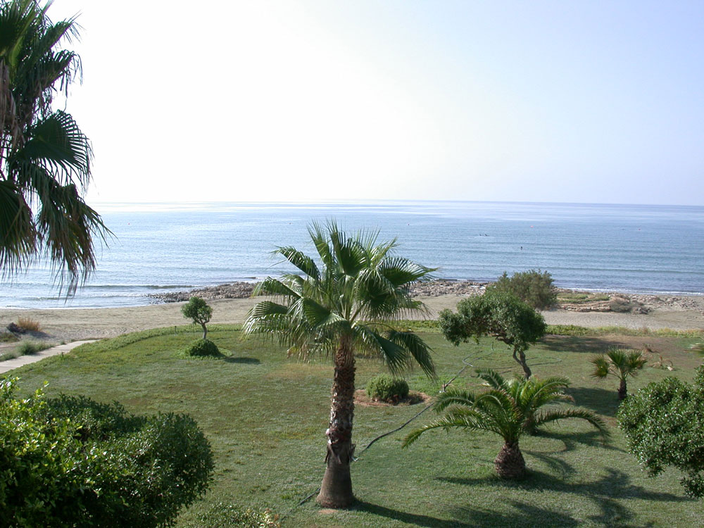
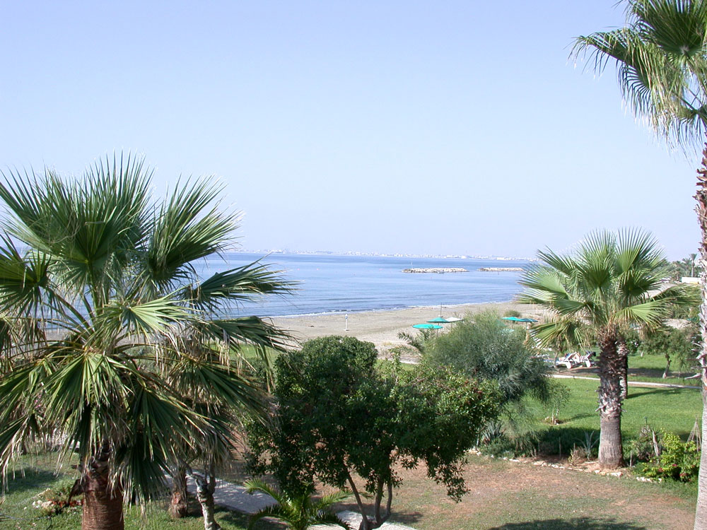
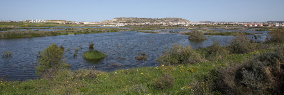
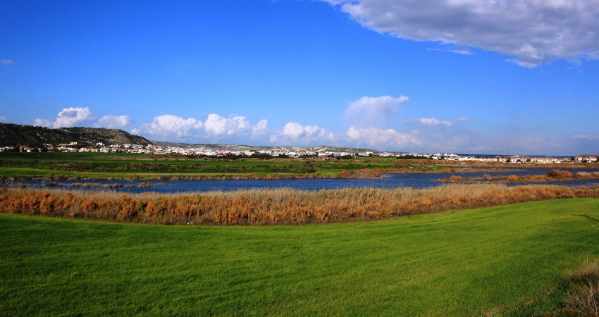
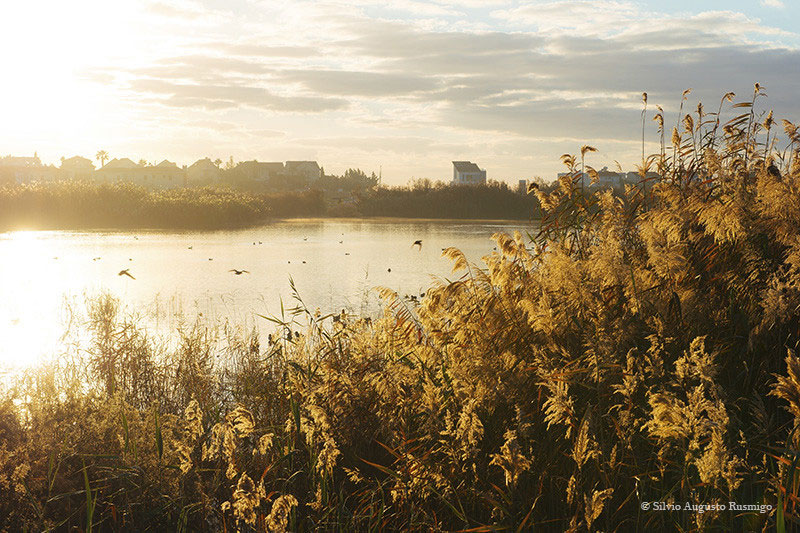
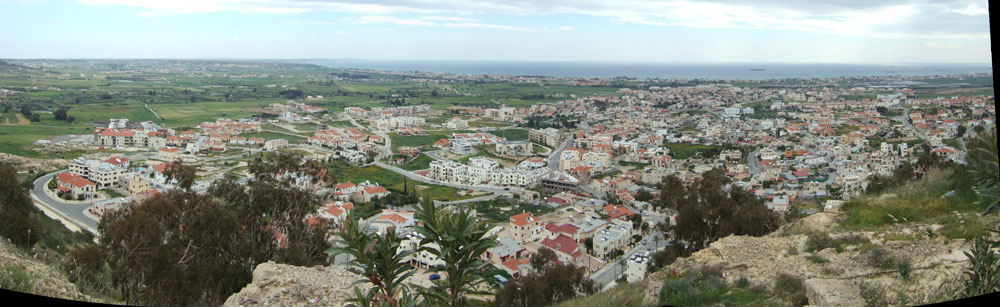
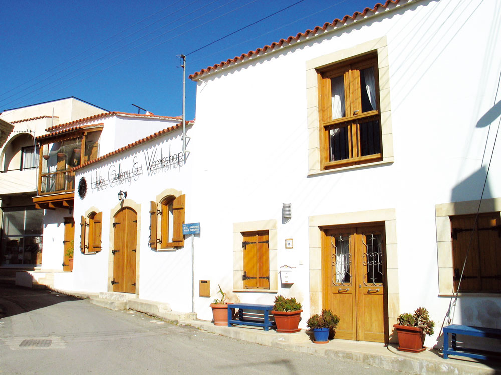
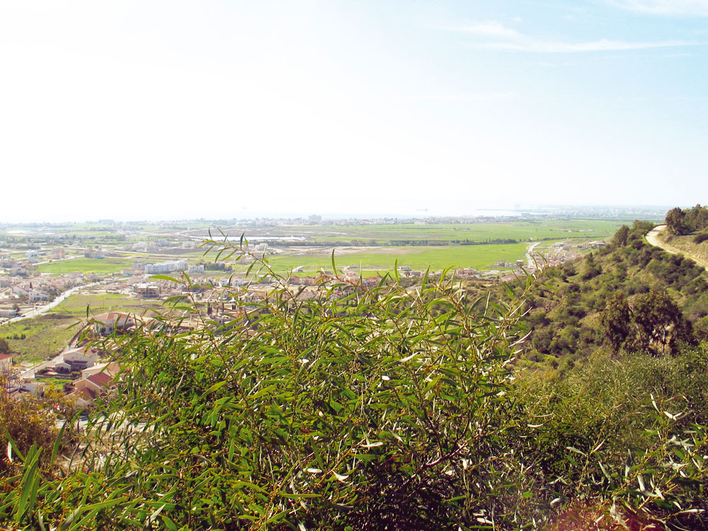
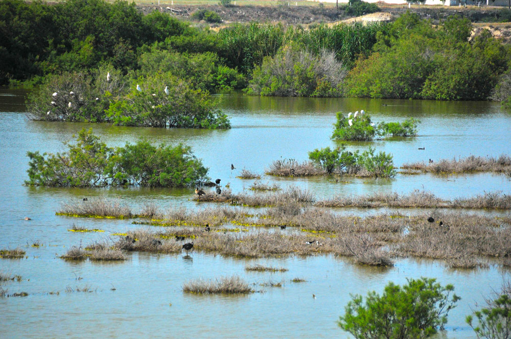
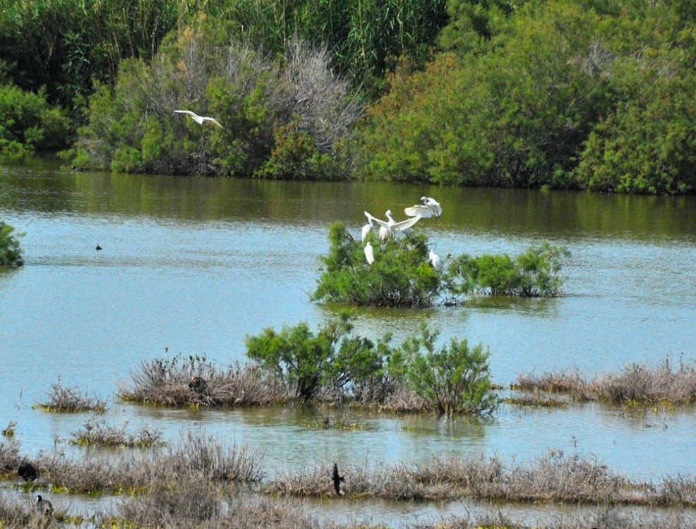
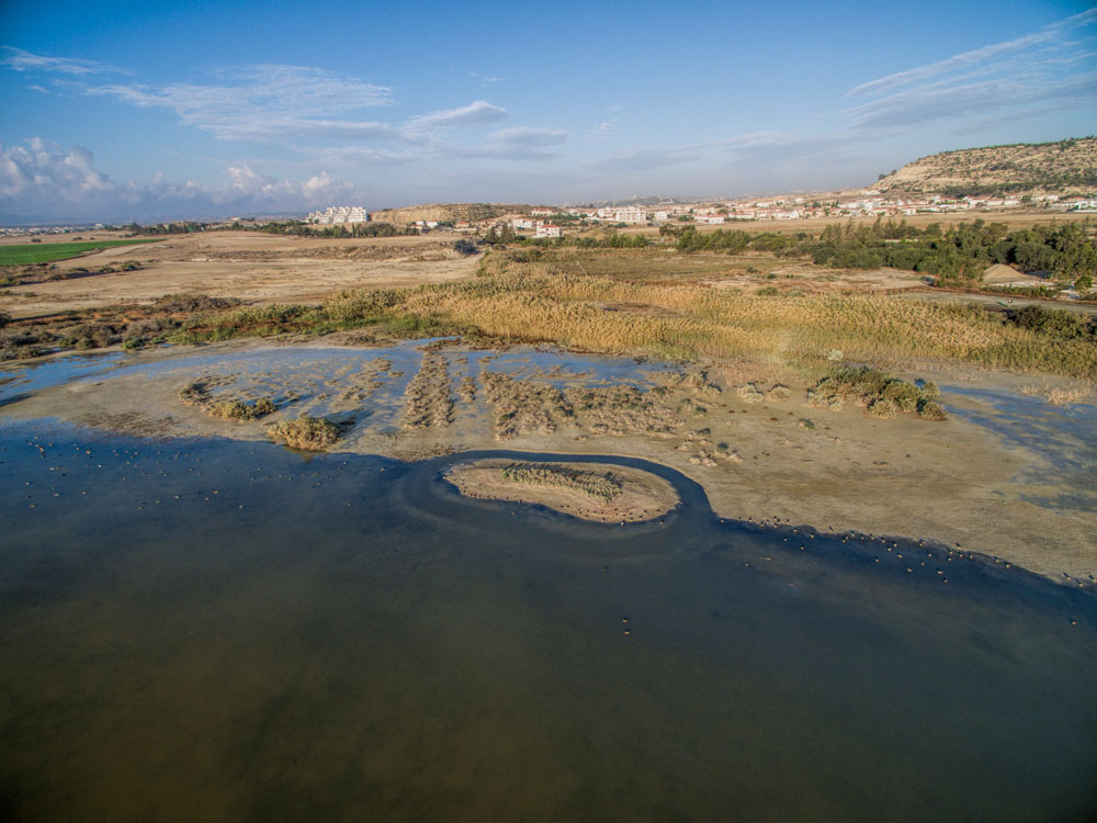
Voroklini is located about eight kilometres north-east of the city of Larnaca. The village stands upon a barrow at the foot of a low, petal-shaped hill, at an altitude of about 50 meters above sea level. Voroklini receives an annual average rainfall of about 340 millimetres; cereals, vegetables, and fruit trees are cultivated in its region. The oblong hillock under the name of "Arodaphne" is a characteristic element of the landscape and it is found north-west of the village. The hilltop, under the name of "Gerakomoutte", reaches an altitude of 208 meters. In the south, upon this oblong hill, stands the country church of Profetes Elias (The Prophet Elias). Voroklini is connected to the Larnaca -- Ammochostos highway in the south-west, and to the quarries and mines that are located between Voroklini and the villages Troulloi and Avdellero in the north-west. In the north-east it connects to the bordering, mixed-population village of Pyla, standing at a distance of about 3 km. In the north lies the monastery of "Agios Georgios tou Mavrovouniou" (St. George of the Black Mountain ), which was at its heyday during the Venice Domination era. In the west the village connects to the village Livadia.
The name of the village
According to Grivaud, the names under which the village is found are Porocumi, Voroclini, Voroklini. Nearchos Clerides reports that the name "Oroklini", which is the one used in common language, probably does not originate from the words "Oros" (mountain) and "Krene" (fountain) because too many villages that have their springs in the slopes of some mountain can be found in Cyprus. Clerides supports that the village's name, "Voroklini", probably came from its springs, their water being brackish. The quality of the water is also verified by oral testimonies. Another probable interpretation may be the result of the words "Oros" and "klinin", which means profuse. In this case it must be a reference to having plenty of water running down from the slopes of the mountain in the area where it sprang.
Historical venues
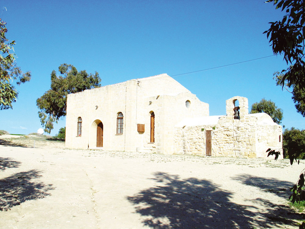
Important historical venues that are reported (Goodwin) are the manor ("tsifliki", meaning big estate) of "Despotis" (south, between Voroklini and Pyla, probably destroyed by the raids of the Saracens (Machairas)), the manor of "Diazaena" ("Kafkalies" venue), the manor of "Santes" (within the village), "Agios Thomas" (St. Thomas) that is located about 1,5 km north of today's village, and "Agios Georgios tou Mavrovouniou" -about 1,5 km north of Agios Thomas. "Agios Georgios tou Mavrovouniou" was a feud also known under the name "San Zorzi". Mines of "grey soil" (Umbra) can also be found in this venue. The church in the region of Agios Thomas has been declared an ancient monument by the Antiquities Department. The graveyard in the "Lakkos tis Elias" (Pit of the olive tree) venue, which dates back to the Hellenic Era, has also been declared an ancient monument. The church of the Prophet Elias marks the boundaries of the village in the south-west and it is visible from the greatest part of the village. In the north-west side of the church and towards the village, some ancient, sculptured steps within the rock can be found and they are known to the locals as "pathkies tou profiti" (the footprints of the Prophet).
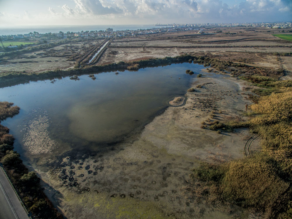
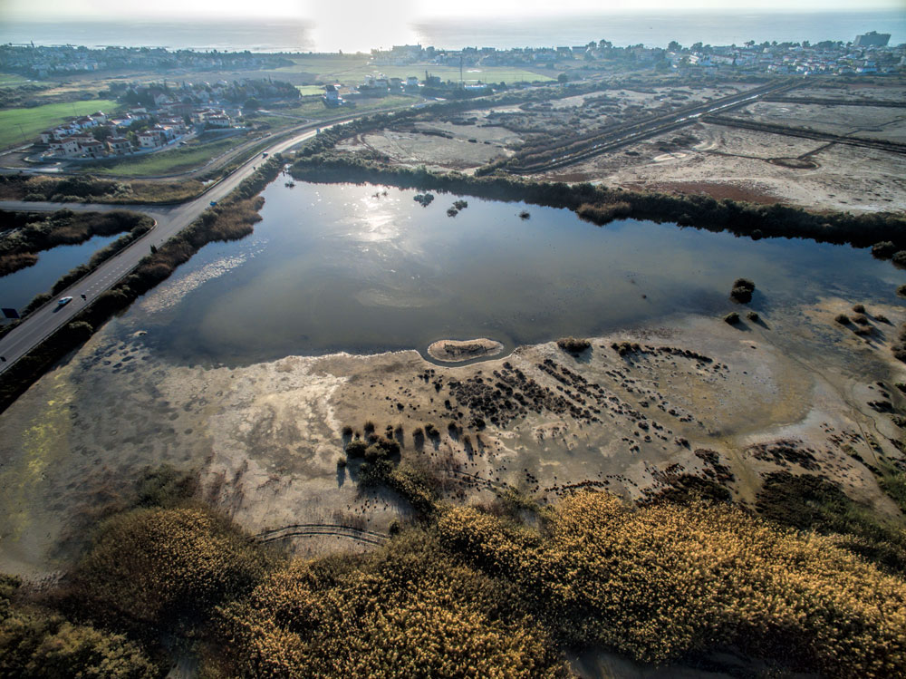
From the D.O.S. 355 map of 1960, one can detect a settlement and a graveyard -from the latter part of the Bronze Age -in the "Verki" venue, north of the river's estuary. South-east of the village, about 700 to 800 m from the centre of the village, lies the abandoned area where the village's sun-dried bricks were made (D.O.S. 355 map). In that same map, north of the "Azousa" venue, one can see a series of pens / stockyards that must originate in the 19th century.
Historical references
This region seems to have been inhabited since ancient times, as it is witnessed by the intense utilisation of the mines and the mineral resources in the Troulloi region, especially of copper as well as Umbra (grey soil) and "white soil" (argil). Grivaud, using sources of Mas Latrie, reports that the village -along with other villages from the region -had been abandoned during the 15th century. He also reports that the village, specifically, had been abandoned in 1572. These desertions were of a temporary character, as it is mentioned in Ottoman transcripts (defter-I-muufassal of 1572). The raids and the unstable socio-political conditions and also the epidemics are mentioned as the reasons for the abandonment (Grivaud, 218, 220). Upon Jacomo Franco's very rare map, printed in Venice in 1570, containing the latest and most accurate information on Cyprus for that era and copied by Abraham Ortelius in 1573, the village is seen marked under the name of Voroclini. This map was considered as the most up-to-date in its era and was in use until the 18th century. Curiously, the village's region was reversed with that of the region of the village Pyla (Hadjipaschales & Ioannou, 1989).
The village is found in other Venetian maps of the 17th century as Vorochini (Goodwin). In document of the French consulate (MKE) it is also mentioned as Verochino. Leontios Machairas, in his 5th book of the "Chronical", refers to raids by the Saracens in the region during the reign of Ianos (1398-1432): "…AND ON Friday, on the 10th of August, they brought news…that the Saracens burned Kellia and Aradippou and all of the despot's lodgings…" (Pavlides 1995). During the Turkish Domination era the village appears abandoned and only in the 18th century it begins to regain is population (Great Encyclopaedia of Cyprus). It is said that the French poet Arthur Rimbaud worked in the region's mines in 1878. Goodwin reports that he received a day's wage of 6 pounds. The great smuggler of Cypriot antiquities, Luigi Palma di Censolam, Consul of the United States, also was in the region during that same era, conducting in excavations of antiquities. However there is no explicit mention of Voroklini in particular (Hadjicostis 2001).
In 1885, Horatio Kitchener completed the mapping of province of Cyprus at a scale of an inch to a mile. Upon this map the village Voroklini is seen in its present position, along with the church and four parallel streets. George Jeffery (1918) tersely refers to the village as "…ancient settlement that can be found in old maps, at the precincts of which abandoned chapels are found…" According to local tradition, the village originally was located north-east of its present position, in the Agios Thomas venue. During certain epidemics the flocks and livestock were first transferred near the spring of St.Catherine and the inhabitants followed afterwards.


Great Sponsor


Main Sponsor


Sponsor